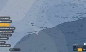
Location of vessels
WHAT IS GISWEB?
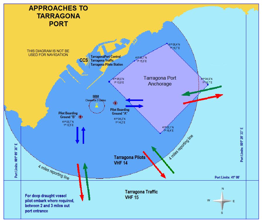
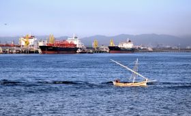
Vessels originating from all over the world stop over at our Port. With the aim of facilitating specific and updated information on the vessels, the Port of Tarragona created the tool GISWEB. In this system you will find corresponding information on the movement of ships in the internal water zones, moored at the docks, monobuoy, and anchoring zones.
In the same way, you will find the registration of the movement of vessels, the official stops and the daily bulletin.
GISWEB
MORE INFORMATION ABOUT OPERATIONS AND PORT SERVICES